Katherine Region NT
Northern Territory
Australia
Try here for
recent Katherine River news

 
Katherine Town
Katherine Region
Screensavers

Katherine Internet Start Page
Links for locals
& ex-pats

Current time here
Weather radar
NT Road reports
Katherine Weather Extremes
 
Katherine Flood Information 2006
1998 Katherine Flood information
Sign Guest book
View Guest book
Map of Katherine
Region Map Page
Katherine Forum
Click for Katherine, Northern Territory Forecast


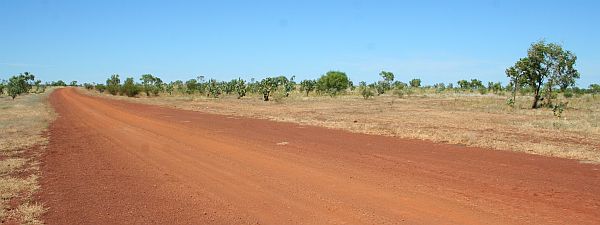
Northern Territory Fossicking
Wave Hill Station

Located off the Lajamanu road about 12 km from Kalkarindji Community (also known as Wave Hill) this dedicated fossicking area is well hidden from the rest of the world unless you have a map.

The turn off (as shown here) has no signage, so you basically have to know where you are going. (or have a rough idea). I actually went past it, even though I have been here before.

So feel privileged to be in an area that has had so few people pick it over.

Lajamanu Road 4.2km

As the Northern Territory Govt Map for Fossicking (FA7) indicates it is 4.1 km down the Lajamanu Road (coming down a slight incline) then look for the old bore runners track (that looks like a superhighway on the map). I think only 1 vehicle had been down there & back this new season so we had some lent over grass to follow.

The first few kilometres of this track was rough from cattle walking over the sodden blacksoil during the wet season and on some occasions it was a matter of just keeping going in the general direction until you were back on the old track.

The first dryish creek listed on the map (about 2 kms in) was a spot we had frequented over the years to camp at en-route to Halls Creek or Lajamanu. But at present it is popular with the cattle, while there is still a little water about.

turn off to fossick area

We camped near No. 6 Bore (abandoned) in the creek area. Basically past the dry water tank & trough then through the cattle grid then take a sharp "left" along the fenceline and a few hundred metres to a shady tree along the dry creek. (Refer to fossick map)
Here is the remnants of many a fossicker's hoard and still plenty of pickings to be found.


In the wet season the water roars through here burying &
unearthing new sections to keep it interesting each year.

Rock laden countryside with our camp in background


Thousands of coloured rocks to look at


Most people will not venture too far off the goat tracks, however there are many areas that are still untouched and are newly eroded after each wet season. Remember there is over 25 square km of area to wander around in the Northern Wave Hill fossick area.

We had trouble finding out anything about this area and we only live 500 km away, hence the photos and the 2009 update.

Our preference to camp next time might be in the sandy creek located closer to the southern end of the fossicking area. We noted that the track in to Gordon Bore via the Lajamanu road (right where the No7 is stamped) was a freshly maintained track and I would bet it is a newer or the main access track into these bore grounds for the Wave Hill Station workers.

We didn't venture to the next fossick area (13.5 km further south past Gordy springs) but guess that sections of road conditions may be much better than the original fossick track we came down on based on the 300 metre section we saw to Gordon Bore cattle gate at the Southern end of section 1. (But could be wrong) (But you are here for something different anyway)


On the open plains you can see where the grader went through (about 20 years ago) and still find some nice specimens along the track. But venture another 150 metres either side and park the car and you will find a lot more hidden treasures in the grass. (The track is about 8 km long and in some spots you can go a few km either side of it making up your own track.
A few Thunder egg remnants were located near the hills and washouts with only an hour of fossicking in this spot along the track.

Oh to borrow a grader for a few hours.....
Next trip we will venture to the #2 site for a look 

Lack of water was an issue for the camp, so top up at Kalkarindgi.
If you get desperate there is the turkey nest at Gordon bore (which is just outside the designated fossick area)

Fossick Maps & Permits located on NT Govt Website
Mind you I could not see the map button for looking so here are some links to help out (I will have some google earth images soon)

Fossick Area Map Wave Hill Station
(one NT Govt map says FA8 other FA07)
Fossick Permit (online instant permit)(great for the kids)
Information on Fossicking in the NT (NT Govt website)